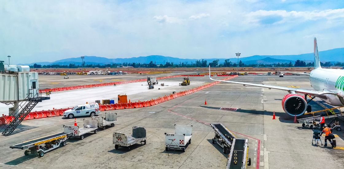

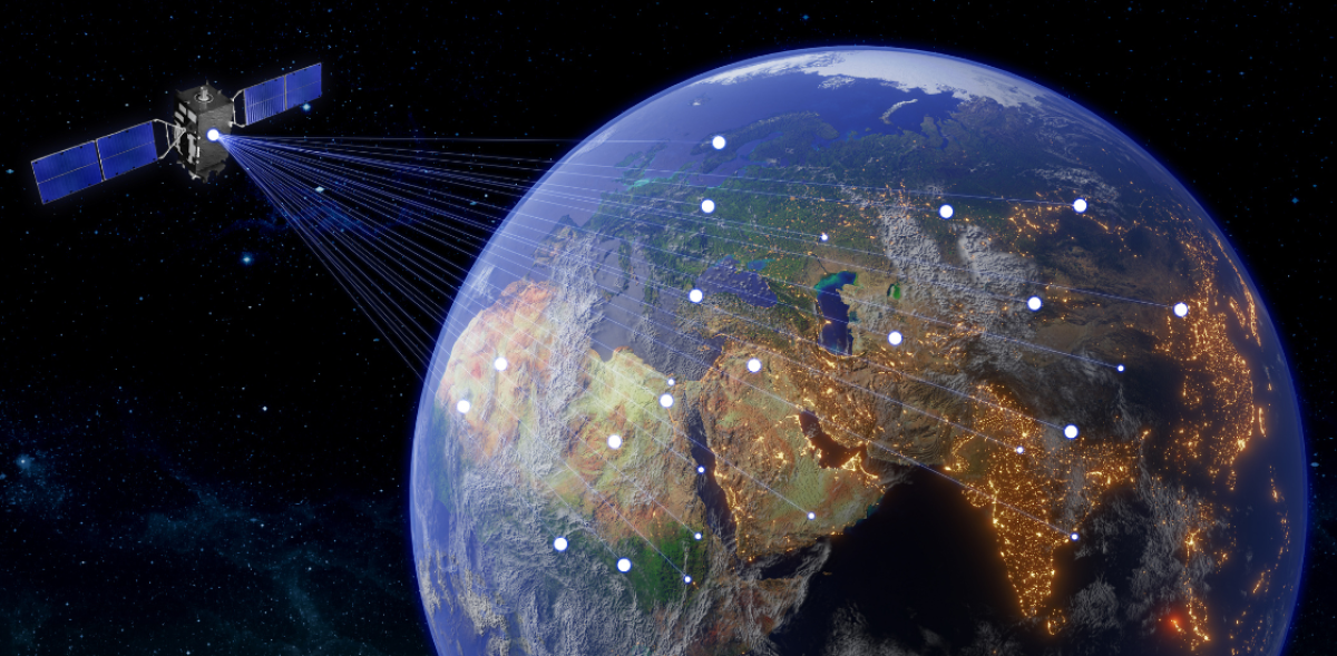
Currently, emergency response teams often rely on outdated and fragmented information, resulting in slower and less effective disaster response management. The time lag between the impact of the disaster and the civil response means that responders may not have a complete or up-to-date picture of the situation, hindering their ability to act quickly and efficiently. With the advanced technology from Deimos, SkyLabs, and GINA, this project will revolutionize disaster response by reducing that lag. This enables responders to see the situation as it unfolds, track changes over time, and make faster, more informed decisions.
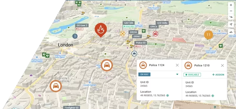
Boris Procházka, Executive Manager at GINA Software, stated: “We are thrilled to be part of the CISERES project, which is perfectly aligned with our mission to save lives through technology. Thanks to Deimos Space’s Earth Observation know-how, we will be able to send real-time alerts directly to an Apps Platform on Earth. Deimos will provide the data products and GINA will then post process these images into up-to-date maps, providing a comprehensive system for emergency teams. By integrating real-time satellite imagery with our digital mapping platforms, we can ensure that responders have the most up-to-date and accurate information.”
Examples of Impact in disaster response:
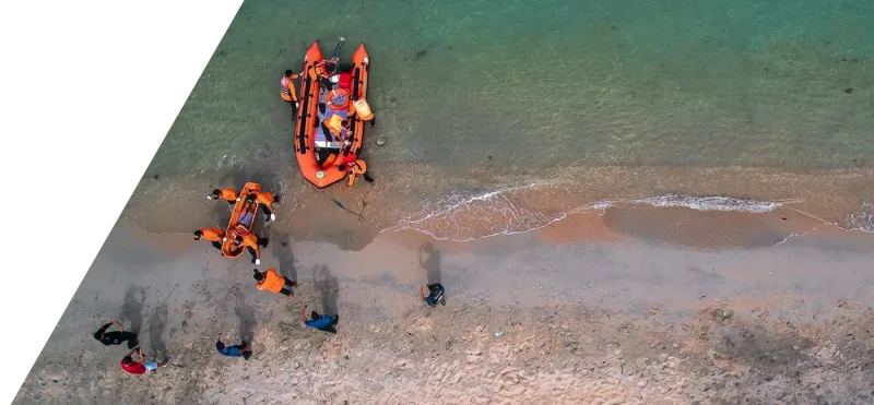
Landslide response: Within minutes of a landslide, satellites equipped with this technology can provide detailed impact information of the affected areas. This data allows rescue teams to identify the most vulnerable areas and deploy resources effectively.
Wildfire management: During wildfires, real-time satellite imagery can track the spread of fires, helping firefighters allocate resources to the most critical areas and predict the fire’s path to protect lives and property.
Flood monitoring: Real-time flood mapping enables emergency responders to monitor rising water levels and coordinate timely evacuations to ensure the safety of affected populations.

Paulo Rosa, Deimos’ Head of Avionics commented: “The CISERES project represents a significant step forward in civil security and disaster management. By combining Deimos Space’s expertise in satellite technology and GINA Software’s innovative mapping platforms, we can deliver real-time, high-resolution data directly to emergency responders on the ground.”
About GINA Software: GINA is a provider of emergency coordination software that helps first responders to maximize their response efficiency. With maximum focus on ease of use, it enables rapid unit dispatching, seamless communication, and informed decision-making. Customers in 50+ countries use GINA to mitigate risks, protect property, and save lives.
About Elecnor Deimos: Elecnor Deimos is a leading space systems provider in Europe, specializing in mission analysis, systems engineering, flight systems, on-board software such as Avionics and Computer Vision/AI, and ground segment systems. As part of the Elecnor Group, Deimos is committed to providing innovative solutions for Earth Observation and other space missions.