As the world continues to combat the spread of COVID-19, efficient crisis management and real-time data sharing are crucial. To support public safety organizations, first responders, and crisis teams, we have optimized GINA’s Emergency Response Software to help monitor infections, manage resources, and improve coordination effectively.
Table of Contents
Real-Time Data Visualization
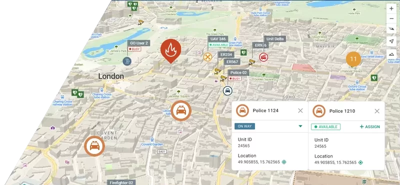
GINA Central provides an up-to-date overview of COVID-19 cases in any region. Authorities can:
- Track infection trends and filter data by location
- Monitor key statistics (infected, recovered, and active cases)
- Analyze data for better decision-making
The system allows for both manual and automatic updates via KML or geoJSON feeds, ensuring reliable and real-time insights.
Data Sharing for First Responders & Volunteers
In a crisis, collaboration between emergency units is essential. GINA enables:
- Live tracking of unit movements
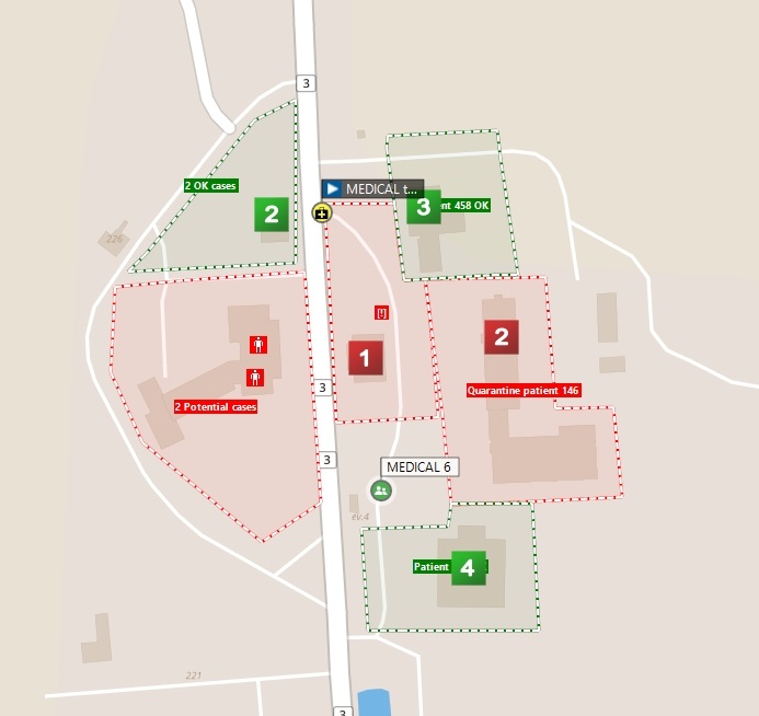
- Sharing of critical information like POIs, medical stations, and restricted zones
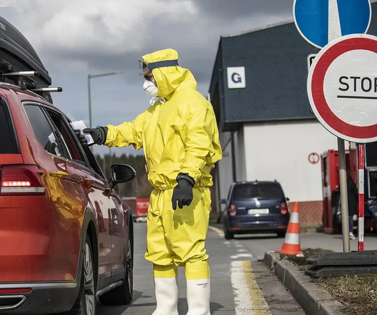
- Better management of high-traffic areas such as border crossings and quarantine zones
Public safety organizations, medical personnel, and crisis managers can access and update data in real time using GINA Central, GINA GO, and GINA Portal.
Field Data Collection & Patient Monitoring
Quick and efficient data collection is key to managing a pandemic. With GINA, responders can:
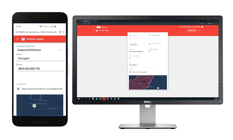
GINA Portal – A web-based tool to collect patient data such as symptoms, location, and contact details via a secure form sent by SMS.
GINA GO – A mobile app allowing field workers to fill out digital forms, report cases, and share real-time locations. An SOS button is available for emergency alerts.
Dynamic Safe & Hazard Zones
GINA GO provides automatic alerts when responders enter or leave COVID-19 risk zones, ensuring they take the necessary precautions. Upon entering a high-risk zone, users receive a notification prompting them to use protective equipment, helping to minimize exposure. Conversely, when a safe zone is detected, the system informs them that no additional protective measures are required, allowing for more efficient resource management.
Authorities can quickly create, modify, and adjust zones based on the evolving situation, ensuring that responders always have the most up-to-date information. This functionality enhances situational awareness, improves coordination, and optimizes emergency response efforts, making it a vital tool for managing public safety during a pandemic.
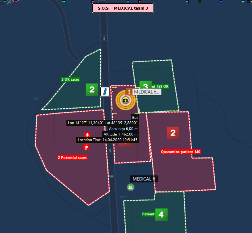
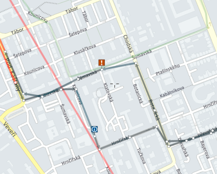
It is also possible to identify locations where potential contact with an infected person occurred and display them on the map with the exact time and location. This allows responders and public safety officials to track exposure risks, analyze transmission patterns, and take necessary preventive measures to contain the spread of infection.
Instant Communication & Messaging

Fast and reliable communication is essential for field workers and coordination centers. GINA’s messaging system enables teams to send real-time alerts and updates, ensuring that critical information is shared instantly. This helps responders stay informed and react quickly to evolving situations in the field.
In addition to alerts, users can share live locations and navigate to emergency sites, improving coordination and response efficiency. In urgent situations, the emergency SOS function allows responders to request immediate assistance, ensuring that colleagues can react without delay and provide support exactly where and when it is needed.
Empower Your Response with GINA
GINA’s solutions are designed to support emergency responders, crisis managers, and public safety organizations in handling a wide range of critical situations. Whether managing a pandemic, natural disaster, or large-scale emergency, real-time data, seamless communication, and advanced coordination tools ensure a faster and more effective response.
Discover how GINA can enhance your operations and help you stay prepared for any challenge. Try it for yourself – request a demo today!
